

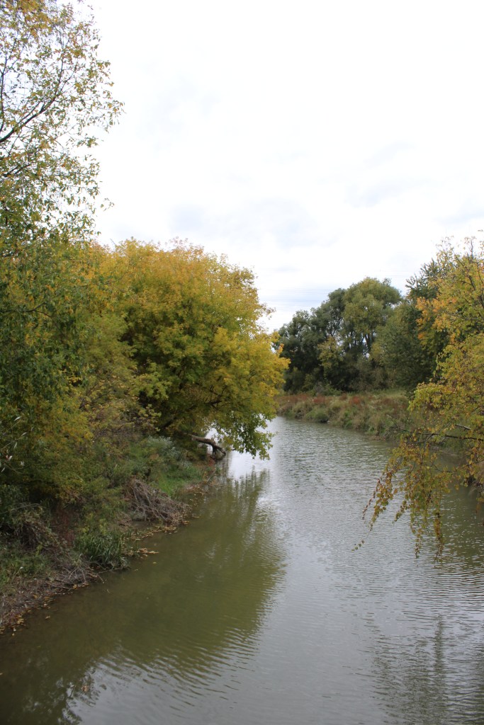
The busy holiday season is done and over, and finally we have had the opportunity to slide back into our regular routine, and spend some time hiking and exploring. We had visited Claireville Conservation Area in October to see the leaves change colour, and being so close of a drive, visited again in January of the new year. It’s impressive how vast and serene the area is is. Especially with being surrounded by such a busy and populated region.


Claireville Conservation Area is located on the western side of the junction of Highway 427 and Highway 407, on the border of Brampton, Vaughan, Toronto, and Mississauga. There are 3 free parking lots off Highway 50, Queen Street, and Gorewood Drive. The 848 acres of conversation land is owned and managed by the Toronto and Region Conservation Authority.
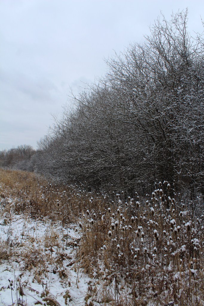
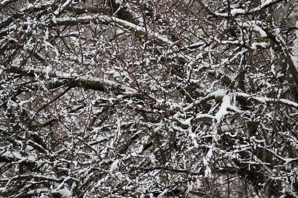
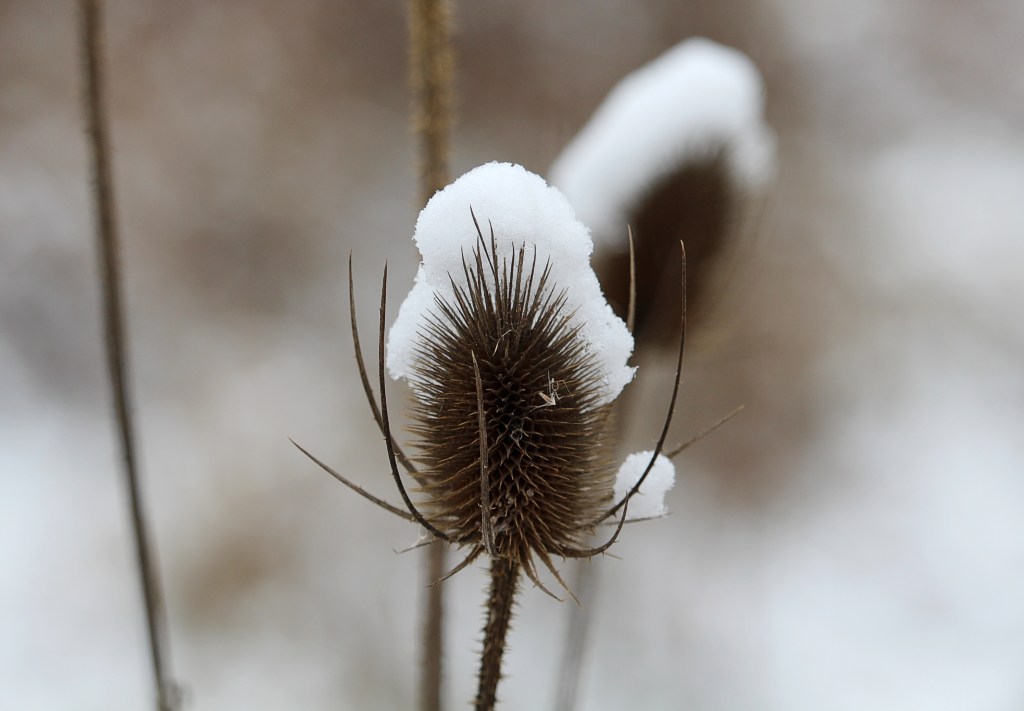
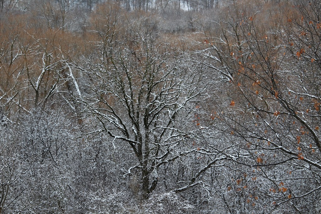
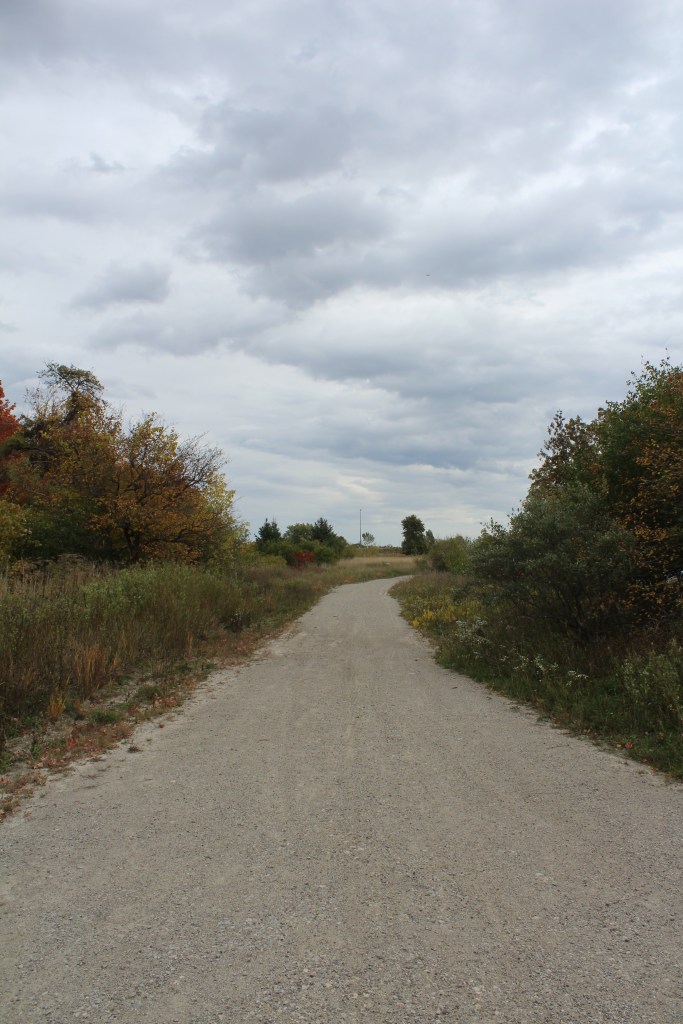
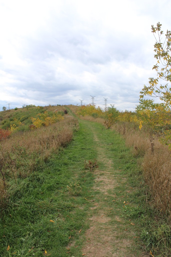
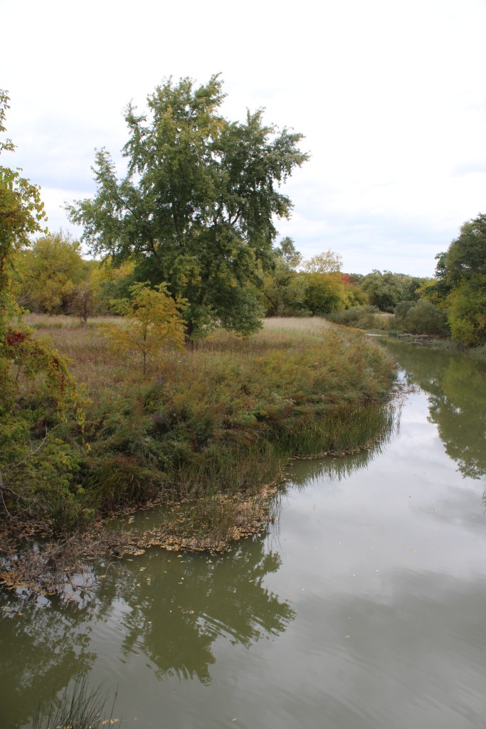
The conservation area features rolling hills, creeks, rivers, and forest. Our visit in winter was short but scenic. It had snowed the day before, and had collected on the pines and meadow wildflowers. We parked at the Highway 50 lot and walked along the loop at points 40 and 41 on the map.
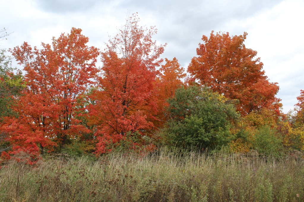
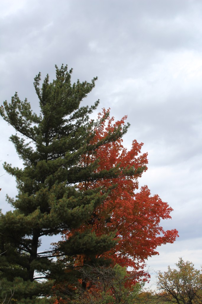
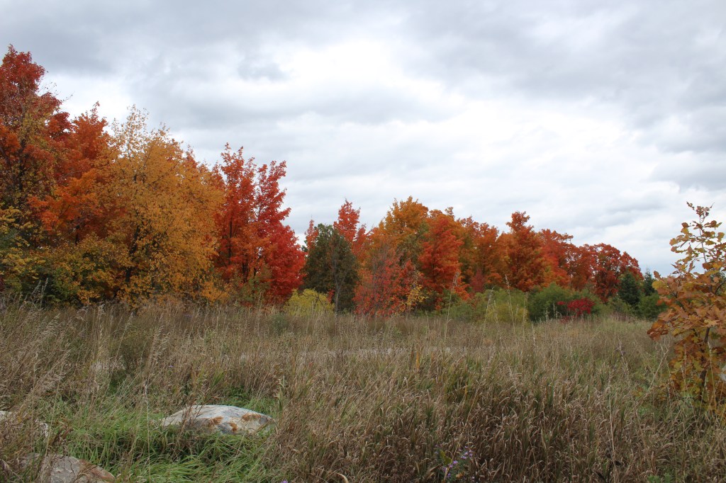
Our October hike, which was also short but scenic but equally beautiful, allowed for fantastic views of the changing colour of leaves. We parked and walked the loop around points 45 and 42 on the map, then visited the Wiley bridge (built in 1924) at point 27 before returning.


Although visiting twice, both trips were short and we still have more to explore.
Have you visited Claireville Conservation Area in Brampton? Let us know about your experience in the comments below.

Agawa Rock Pictographs at Lake Superior Provincial Park
Nature has a remarkable way of preserving history, and nowhere is this more evident than at the Agawa Pictographs in Lake Superior Provincial Park. Tucked away along the rugged shores of Lake Superior, these rock paintings offer a glimpse into the life of the Ojibwe. With red ochre (using a mix of iron oxide to produce…

Serpent River Park in Algoma
Serpent River Park is a captivating place to stop for a rest if you are exploring the Algoma region, and travelling between Sault Saint Marie and Sudbury in Ontario. Located roughly between the halfway point of these two cities, you can access the park on the south side of the Trans Canada Highway (Google Maps…

Scout Valley in Orillia
It’s official – we’ve moved to Orillia! We weren’t loving the city life, and wanted to move somewhere closer to nature and outdoor activities. The traffic, commuting times, and lack of green space was getting to be exhausting. Aside from a few hiking spots within Mississauga, we found we had to drive outside of city…

Snowshoeing at Arrowhead Provincial Park
Arrowhead Provincial Park is owned and managed by Ontario Parks and is located just north of Huntsville, Ontario. Arrowhead is a beautiful and diverse park that offers a range of recreational activities for visitors both in the warmer and colder season, with activity equipment rentals available year-round. Arrowhead is a popular winter destination, with several…

Spruce Bog Boardwalk at Algonquin Provincial Park
Spruce Bog Boardwalk is a quick and easy hike along the Highway 60 corridor in Algonquin Provincial Park. The trail is 1.5 km and made up mostly of boardwalk, and is a leaisurley path with even terrain. We visited the trail on a Saturday in Late October in the early afternoon, and the parking lot…

Lookout Point Trail at Algonquin Provincial Park
The Lookout Point Trail at Algonquin Provincial Park is a 2.1 km loop that presents breathtaking views of hundreds of square kilometers of landscape. With an elevation gain of about 70 meters across the hike, it’s a short but challenging walk. We visited around noon on a Saturday in late October. By this time it…

Beautiful!! ❤
LikeLiked by 1 person
Thank you!
LikeLike
I didn’t even know that this conservation area existed. Thanks for putting it on my radar.
LikeLike
Thanks for your comment! I’m hoping to return soon as there are a lot of smaller side trails to explore.
LikeLiked by 1 person