

We visited two weekends in a row in July. The first visit was incredibly mosquito-ey, but we were determined to return a second time, and came more prepared with long-sleeved clothing and insect repellant.
Speyside Resource Management Area is about an hour from Toronto, just northwest of Milton. Speyside Resource Management Area is directly south of the intersection of Regional Road 25 and 15 Side Road between Milton and Acton. There is a parking lot off Side Road 15 with space for a dozen or so cars with access to the Bruce Trail. The first visit when we arrived on a Sunday in July around noon, there were just a few parking spots left. The second visit in July it was a Sunday with scattered showers, and the lot was empty.

Entering from the lot you first come across the view of a small pond that is surrounded by fields of Canada goldenrod along with Sumac trees. 
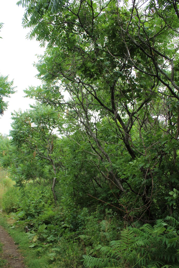
Sumac trees along the trail.
The terrain of the trail had varying levels of elevation and was quite rocky. We had to continuously watch where we were walking to prevent tripping. When we visited on the rainy day we had to be careful not to slip on the rocks. There was ample amounts of tree coverage for a nice hike in the shade or protection from the rain.
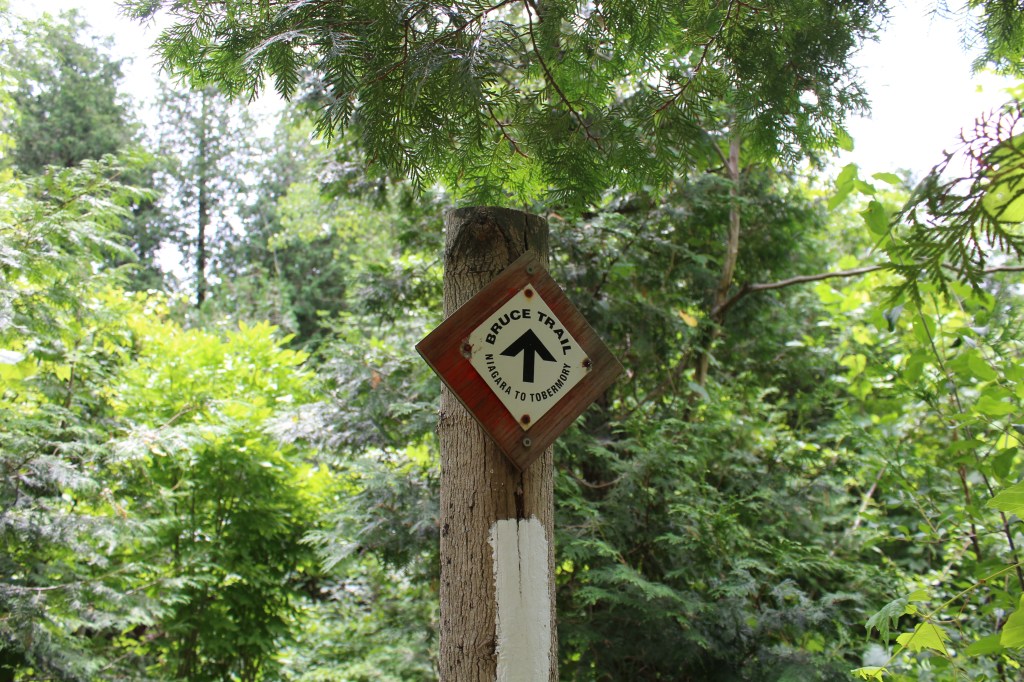
Bruce Trail connects to the parking lot. 

The terrain is rocky but well marked. The rocks are lush with pincushion moss. 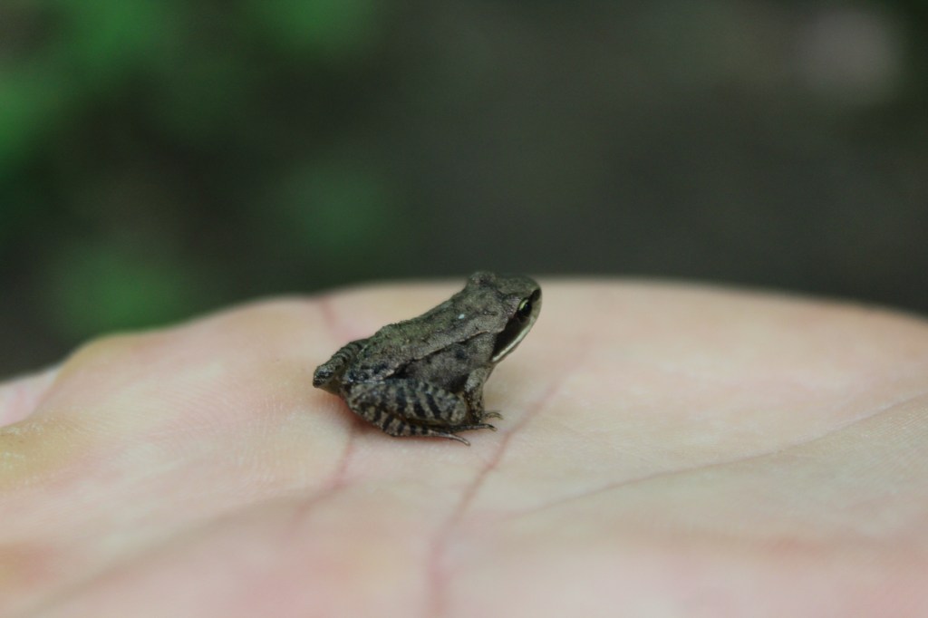
I think this little guy is a spring peeper. 
A small clearing. 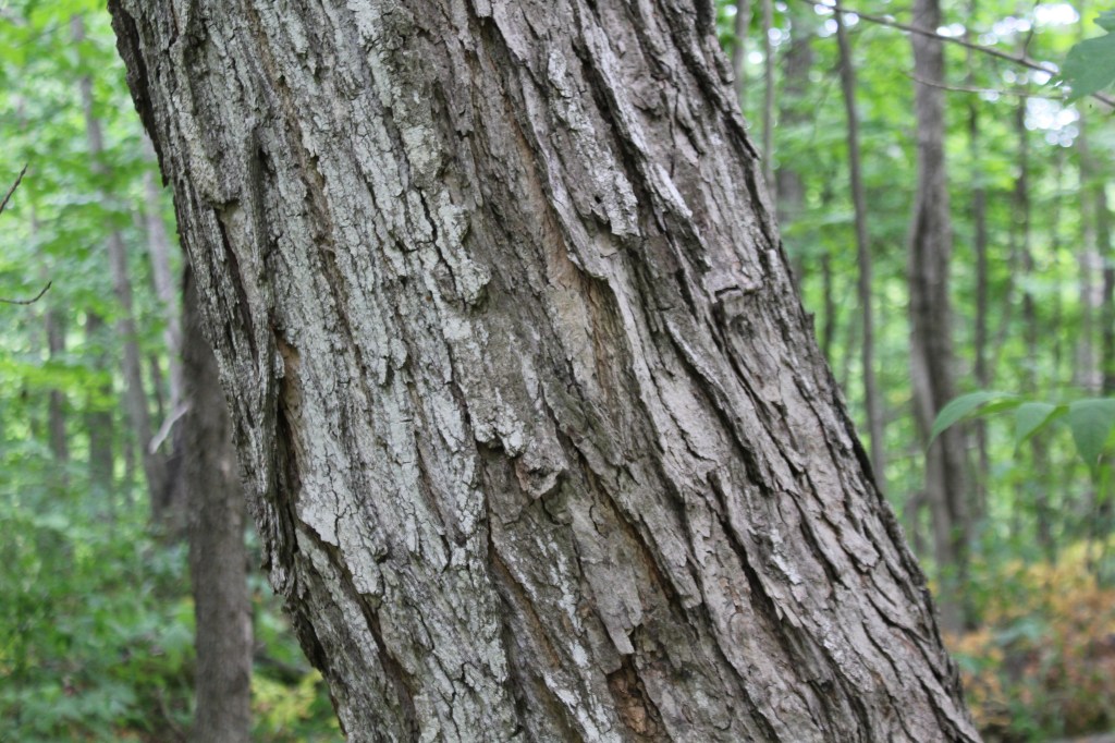
Trunk of a silver maple tree. 

Woodpecker evidence. We both heard and saw a peliated woodpecker but weren’t lucky enough to get a photo this time.
Speyside just under 150 years ago was a busier area, with around 200 inhabitants and a substantial amount of housing. 100 years ago though the population declined to around 40 inhabitants. The area once featured a few general stores, two hotels, a post office, a village hall, and more.

The parking lot off Side Road 15 can fit around a dozen cars.
Let us know if you’ve visited this trail and what your experience was?
Safe trekking!

Agawa Rock Pictographs at Lake Superior Provincial Park
Nature has a remarkable way of preserving history, and nowhere is this more evident than at the Agawa Pictographs in Lake Superior Provincial Park. Tucked away along the rugged shores of Lake Superior, these rock paintings offer a glimpse into the life of the Ojibwe. With red ochre (using a mix of iron oxide to produce…

Serpent River Park in Algoma
Serpent River Park is a captivating place to stop for a rest if you are exploring the Algoma region, and travelling between Sault Saint Marie and Sudbury in Ontario. Located roughly between the halfway point of these two cities, you can access the park on the south side of the Trans Canada Highway (Google Maps…

Scout Valley in Orillia
It’s official – we’ve moved to Orillia! We weren’t loving the city life, and wanted to move somewhere closer to nature and outdoor activities. The traffic, commuting times, and lack of green space was getting to be exhausting. Aside from a few hiking spots within Mississauga, we found we had to drive outside of city…

Snowshoeing at Arrowhead Provincial Park
Arrowhead Provincial Park is owned and managed by Ontario Parks and is located just north of Huntsville, Ontario. Arrowhead is a beautiful and diverse park that offers a range of recreational activities for visitors both in the warmer and colder season, with activity equipment rentals available year-round. Arrowhead is a popular winter destination, with several…

Claireville Conservation Area
The busy holiday season is done and over, and finally we have had the opportunity to slide back into our regular routine, and spend some time hiking and exploring. We had visited Claireville Conservation Area in October to see the leaves change colour, and being so close of a drive, visited again in January of…

Spruce Bog Boardwalk at Algonquin Provincial Park
Spruce Bog Boardwalk is a quick and easy hike along the Highway 60 corridor in Algonquin Provincial Park. The trail is 1.5 km and made up mostly of boardwalk, and is a leaisurley path with even terrain. We visited the trail on a Saturday in Late October in the early afternoon, and the parking lot…
