

Kerncliff Park, located within and managed by the city of Burlington, is truly a hidden treasure of diverse landscapes and scenic hiking trails. It’s about a 45 minute drive from Toronto with no traffic, northwest of the major intersection of highway 407 and 403.

Entrance sign at the main parking lot off Kearns Road. 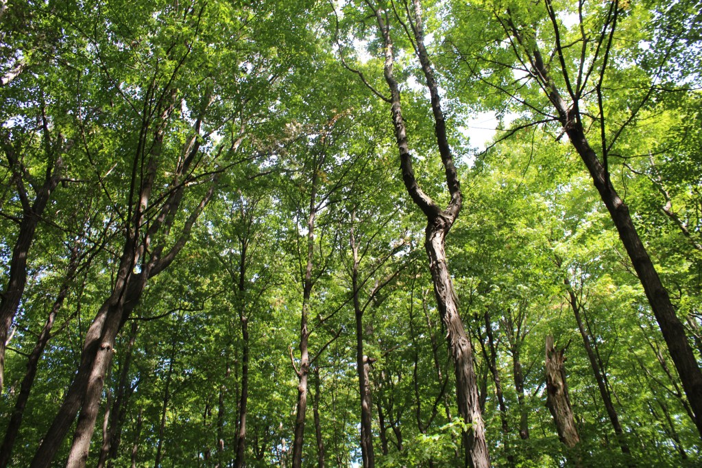
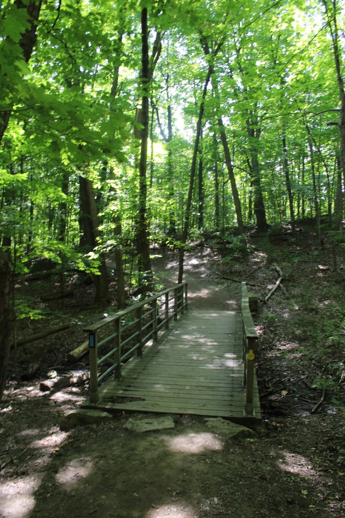
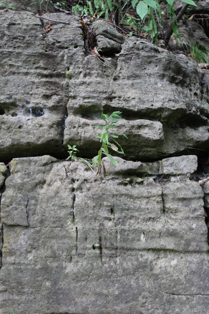
About a three minute walk into the trail.
The trails weave through dense forest with shade to keep cool on a hot September weekend. The terrain is varied in elevation and was slightly more challenging. I do strongly suggest utilizing the map near the bottom of this post as it was an easier resource to reference than the slightly worn trail map at the entrance of the park.
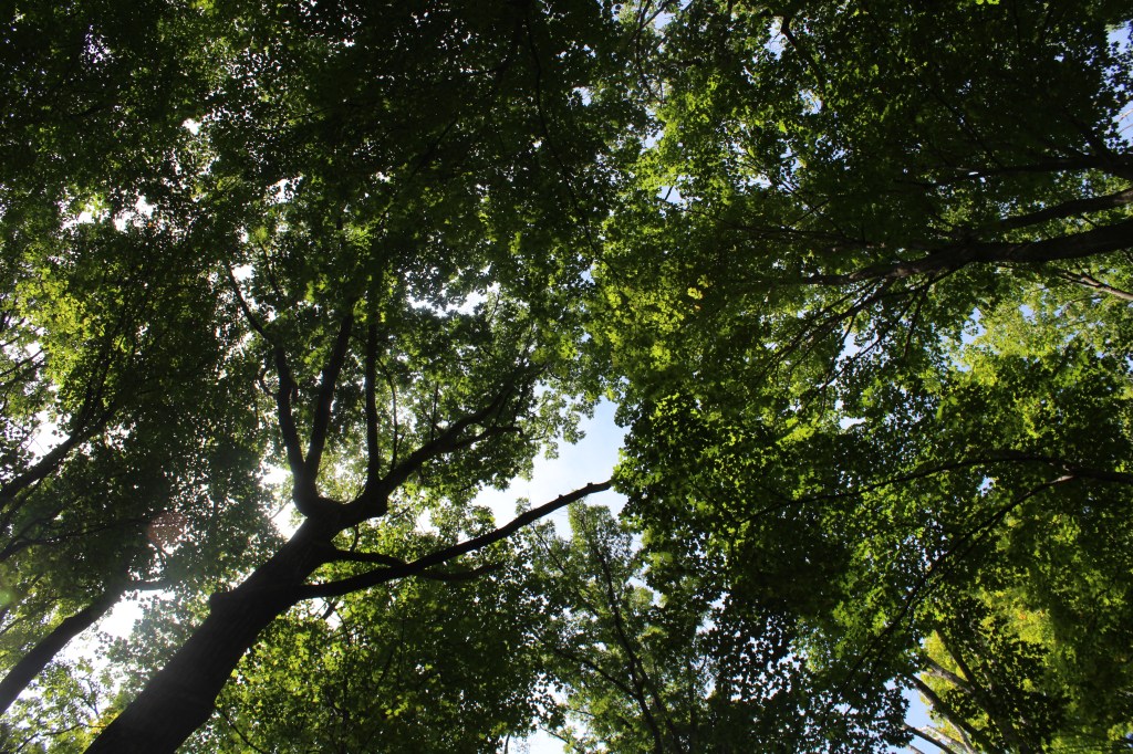
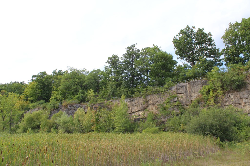
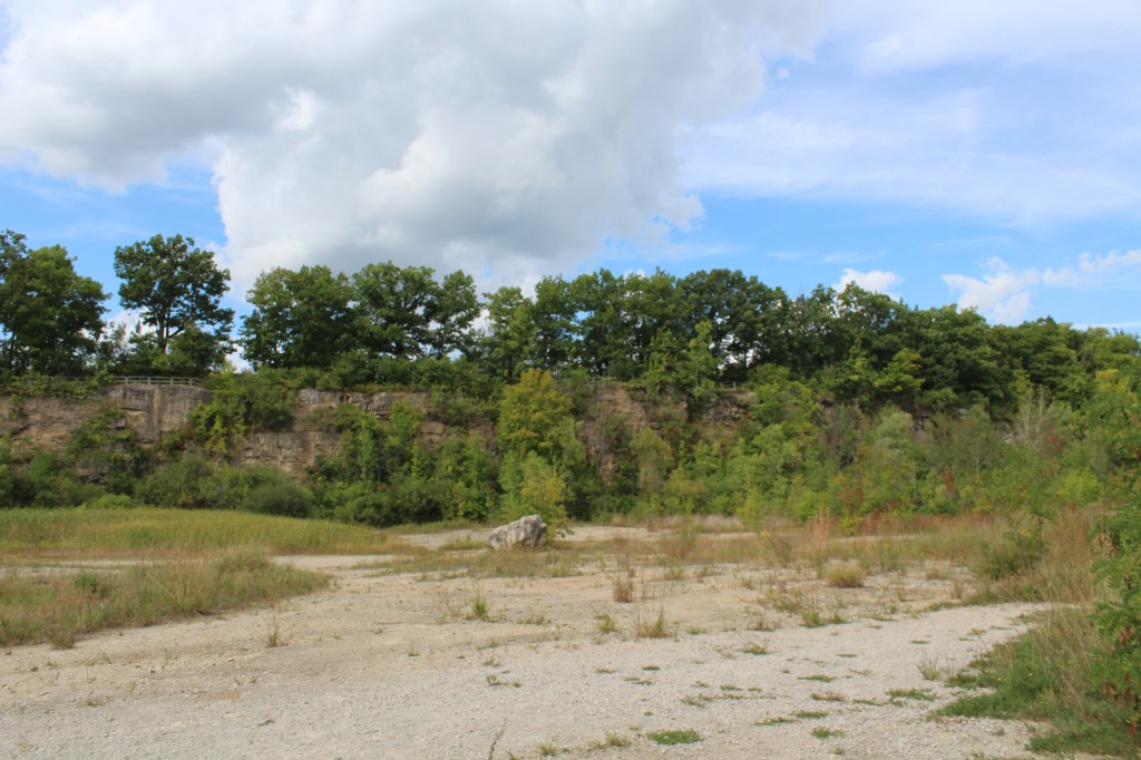
Kerncliff Park lies on what once was the Nelson Quarry. The quarry was purchased in by the City of Burlington in 1981 and was used to mine limestone from the edge of the Niagara escarpment. The Ian Reid Side Trail meanders through the remains of the blasted cliff face and the wetland ecosystem that has since flourished.
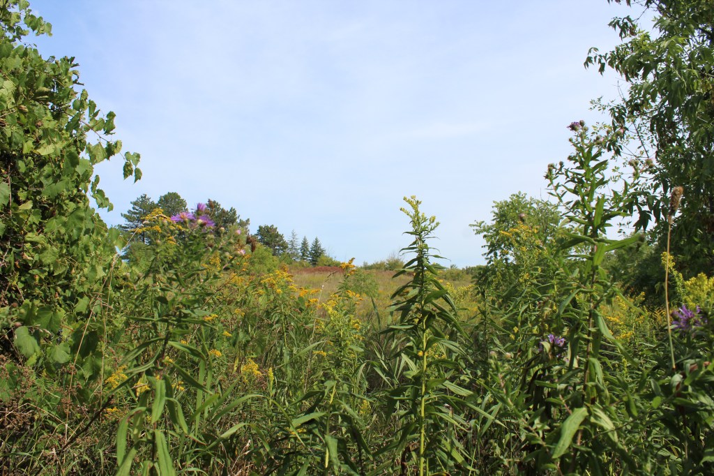
When hiking on the Bruce Trail, we were awarded with scenic views of Burlington all the way to Lake Ontario. On a clear day, we saw the Toronto skyline in the far distance when looking over the quarry.
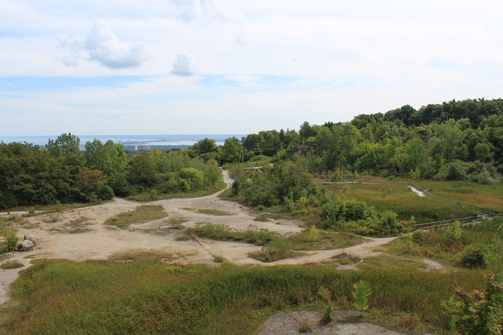
Looking overtop the former quarry. 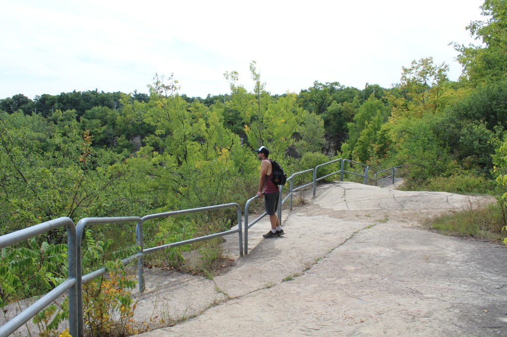
The edge of the escarpment is fenced. 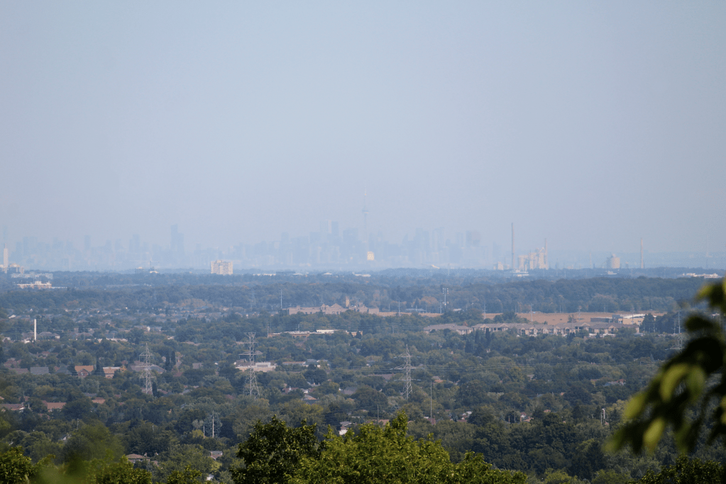
The Toronto skyline on a clear-ish day. 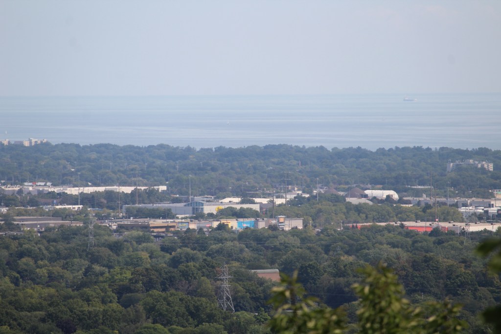
Views of Burlington meeting Lake Ontario. 
Kerncliff Park is a region under the “Cootes to Escarpment Ecopark System”. It’s a combined effort amongst government and non-profit organizations to protect important natural landscapes. You can read more about the initiative here.
We hiked for a few hours but we’d like to return as we didn’t have a chance to explore all the trails!
Have you visited Kerncliff Park? Let us know your experience in the comments below.

Agawa Rock Pictographs at Lake Superior Provincial Park
Nature has a remarkable way of preserving history, and nowhere is this more evident than at the Agawa Pictographs in Lake Superior Provincial Park. Tucked away along the rugged shores of Lake Superior, these rock paintings offer a glimpse into the life of the Ojibwe. With red ochre (using a mix of iron oxide to produce…

Serpent River Park in Algoma
Serpent River Park is a captivating place to stop for a rest if you are exploring the Algoma region, and travelling between Sault Saint Marie and Sudbury in Ontario. Located roughly between the halfway point of these two cities, you can access the park on the south side of the Trans Canada Highway (Google Maps…

Scout Valley in Orillia
It’s official – we’ve moved to Orillia! We weren’t loving the city life, and wanted to move somewhere closer to nature and outdoor activities. The traffic, commuting times, and lack of green space was getting to be exhausting. Aside from a few hiking spots within Mississauga, we found we had to drive outside of city…

Snowshoeing at Arrowhead Provincial Park
Arrowhead Provincial Park is owned and managed by Ontario Parks and is located just north of Huntsville, Ontario. Arrowhead is a beautiful and diverse park that offers a range of recreational activities for visitors both in the warmer and colder season, with activity equipment rentals available year-round. Arrowhead is a popular winter destination, with several…

Claireville Conservation Area
The busy holiday season is done and over, and finally we have had the opportunity to slide back into our regular routine, and spend some time hiking and exploring. We had visited Claireville Conservation Area in October to see the leaves change colour, and being so close of a drive, visited again in January of…

Spruce Bog Boardwalk at Algonquin Provincial Park
Spruce Bog Boardwalk is a quick and easy hike along the Highway 60 corridor in Algonquin Provincial Park. The trail is 1.5 km and made up mostly of boardwalk, and is a leaisurley path with even terrain. We visited the trail on a Saturday in Late October in the early afternoon, and the parking lot…

I remember as a young boy riding our bikes to the quarry in the mid 1960’s. At the time there were no trees or wetland area just old building ruins of a gun club shooting range and broken beer bottles. The upper area was a farmers field with a row of old oaks near the edge of the quarry. Thankfully they are still there along with the woodlots to the east and west. It is fantastic to see the regeneration of the quarry almost 60 years latter. The Bruce trail paths along the escarpment are easy and gives a glance of what things were like before settlers carved up the land and trees. A great day trip!
LikeLike
Thank you for your comment, Jim! That is fascinating. While looking over the views across the escarpment, I couldn’t help but visualize how beautiful the area would be before industrialization.
LikeLike